
Still & Motion Imagery for Stock Licensing
Midwest Quiet Places is a regional stock photography and video project focused on quiet city, country, travel, building, product, and everyday place-based imagery. Our history within the Western US that is also part of our inventory.Quiet places. Regional stories.
Still and motion imagery from Michigan and the Midwest.Select small commercial photography or video projects may be considered when they fit the schedule and creative direction.
Copyright: 2000-2026
It's just me.
Matt Swafford
Photographer & CinematographerMIDWEST QUIET PLACES
Still & Motion Imagery from Michigan, and the Midwest.
Based in Southeastern Michigan
Phone: 248-326-8509
Email: [email protected]
We create something out of nothing. It is called stock imaging.
There was at time when I searched for visual communication, now it just happens. I create images and videos that tell a story and feels good.Our motion work is deliberately composed—location atmosphere, edelkrone slider and lift movements, architecture, landscapes, and establishing footage.
What is your passion?
I have mine, yet other people have different passions. We find it, show it, share it, and document their passion for you to think about.
Developed my Sense of Visual Composition ... when?
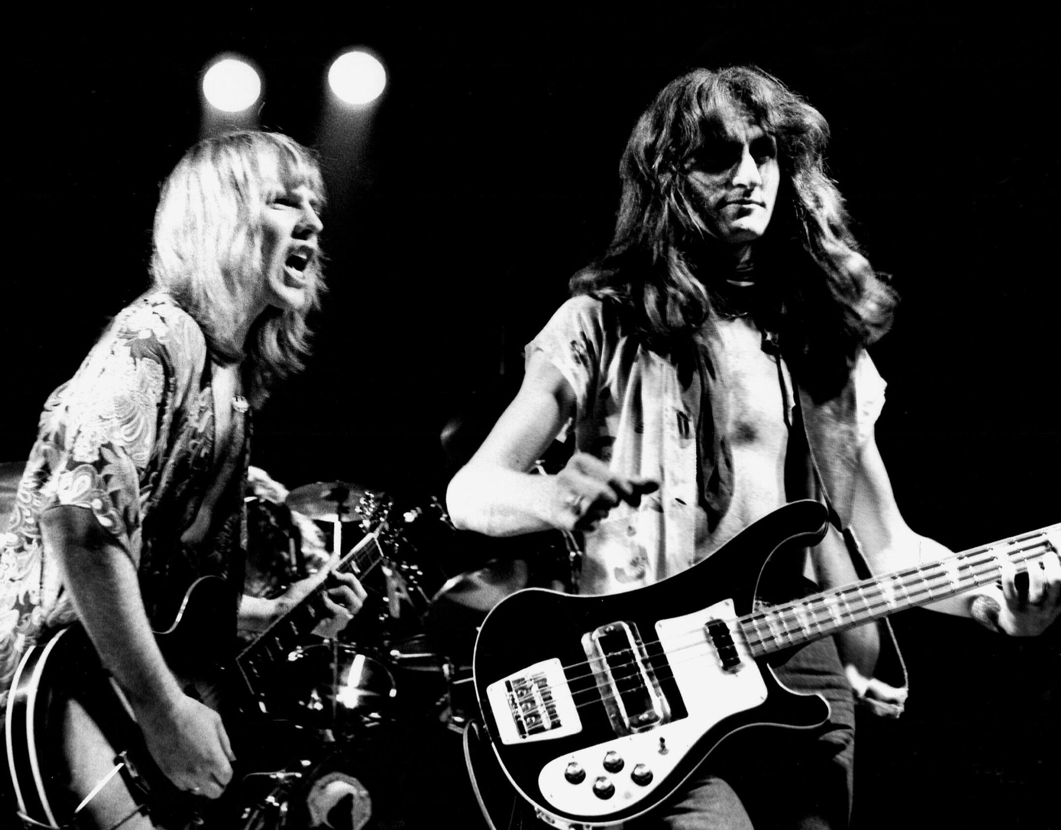
I visually created before high school, then did 3 yearbooks. Following that, I created for a top performance theatre company on-stage shooting, then shot rock and folk performances ... before I was 21. Won some awards.
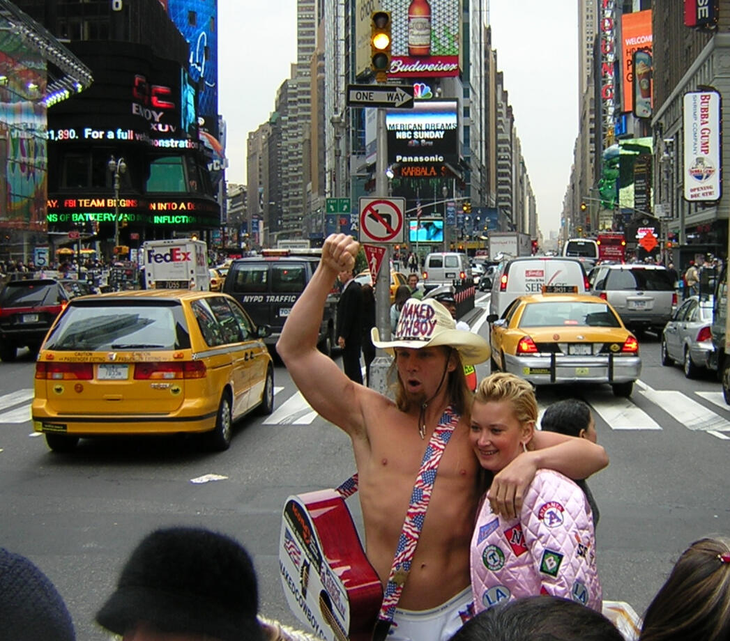
It is an editorial point of view.
We are in a car culture here, of course. There is beauty from the manufacturer's level to the Woodward Dream Cruise to the Pebble Beach Concours d'Elegance in Monterrey, CA; which I have covered several times. And private shoots to document peoples toys ...


Does Technology Change ?
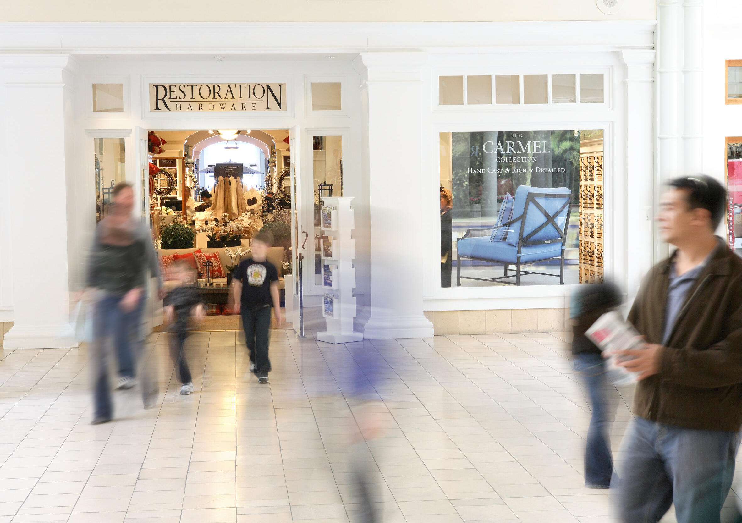
We create imagery that shows cause and effect — how technology changes the way people live, work, and interact with the world around them.
The Written Word and Journalism Concepts
Within today’s story marketplace, there is always an unsolved mystery—and strong imagery helps audiences see the clues, understand the context, and connect with the outcome.

Quiet is not always silence.
Sometimes it is simply a closer look. Created in Michigan, with a broader view of the Midwest.
Notes:Our primary focus is the creation and licensing of original stock photography and video.Our current stock collection is represented and primary distributed through Alamy. Licensing inquiries for images available through Alamy should be completed directly through the agency.Selected commercial photography and video assignments may be considered depending on the project, location, schedule, and intended usage.Actors, models, performers, and businesses seeking portfolio, promotional, or branding imagery are welcome to contact us to discuss available options.All photography and video remain protected by copyright. Images may not be copied, reproduced, published, altered, or used without an appropriate license or written permission.Model and property releases are obtained when required for commercial stock licensing. Editorial images may include recognizable people, locations, events, trademarks, or property and are licensed for editorial use only.Availability of specific images, footage, assignments, or production services may vary.
Get in Touch with Us ...
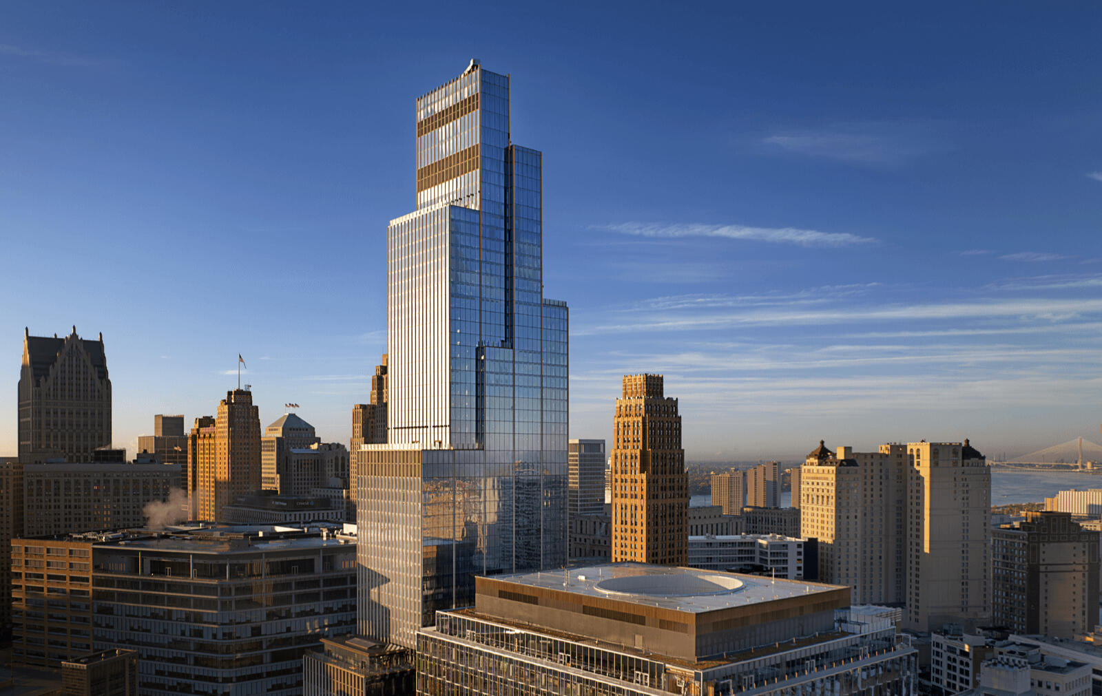
It’s a privilege to work in one of the nation’s largest economic regions, serving Southeast Michigan and metropolitan Detroit.The region is home to professionals across manufacturing, high technology, architecture and design, including construction.What question(s) do you have ...
©Swafford Imaging. All rights reserved. 2000-2026 [email protected]